Mount Pleasant road junction
Introduction
The photograph on this page of Mount Pleasant road junction by Jonathan Billinger as part of the Geograph project.
The Geograph project started in 2005 with the aim of publishing, organising and preserving representative images for every square kilometre of Great Britain, Ireland and the Isle of Man.

There are currently over 7.5m images from over 14,400 individuals and you can help contribute to the project by visiting https://www.geograph.org.uk
Mount Pleasant road junction
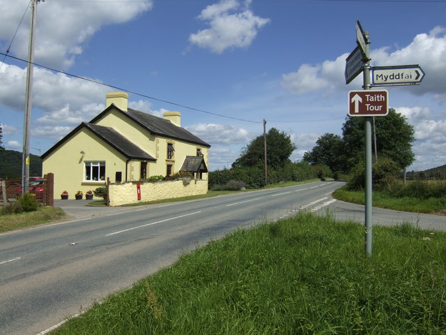
Image: © Jonathan Billinger Taken: 9 Aug 2007
The A4069 south-west of Llandovery.
Images are licensed for reuse under creativecommons.org/licenses/by-sa/2.0
Image Location


Leaflet Map data © OpenStreetMap
Latitude
51.968217
Longitude
-3.833768