Osmotherley sports ground
Introduction
The photograph on this page of Osmotherley sports ground by Gordon Hatton as part of the Geograph project.
The Geograph project started in 2005 with the aim of publishing, organising and preserving representative images for every square kilometre of Great Britain, Ireland and the Isle of Man.

There are currently over 7.5m images from over 14,400 individuals and you can help contribute to the project by visiting https://www.geograph.org.uk
Osmotherley sports ground
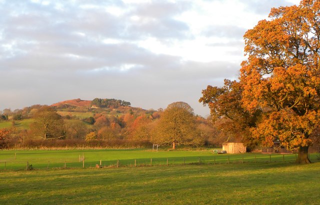
Image: © Gordon Hatton Taken: 28 Nov 2016
The OS map shows this as a cricket ground, although the evidence in the photo would suggest football. A fenced off area closer to the camera might well be a cricket square. In the distance rises Ruebury Hill above Osmotherley village.
Images are licensed for reuse under creativecommons.org/licenses/by-sa/2.0
Image Location


Leaflet Map data © OpenStreetMap
Latitude
54.360488
Longitude
-1.304095