Milnafua
Introduction
The photograph on this page of Milnafua by Richard Dorrell as part of the Geograph project.
The Geograph project started in 2005 with the aim of publishing, organising and preserving representative images for every square kilometre of Great Britain, Ireland and the Isle of Man.

There are currently over 7.5m images from over 14,400 individuals and you can help contribute to the project by visiting https://www.geograph.org.uk
Milnafua
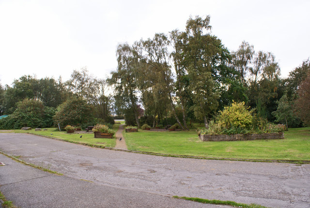
Image: © Richard Dorrell Taken: 4 Oct 2016
A view from within the estate to the community-created gardens at its entrance. More information: Image
Images are licensed for reuse under creativecommons.org/licenses/by-sa/2.0
Image Location
Latitude
57.69979
Longitude
-4.229073