Lesparrow and farmland
Introduction
The photograph on this page of Lesparrow and farmland by Derek Harper as part of the Geograph project.
The Geograph project started in 2005 with the aim of publishing, organising and preserving representative images for every square kilometre of Great Britain, Ireland and the Isle of Man.

There are currently over 7.5m images from over 14,400 individuals and you can help contribute to the project by visiting https://www.geograph.org.uk
Lesparrow and farmland
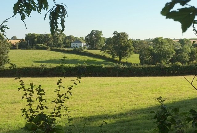
Image: © Derek Harper Taken: 19 Jul 2016
The house at Lesparrow straddles a grid line; the left half is in this square. "Probably late C18" https://www.historicengland.org.uk/listing/the-list/list-entry/1141063 . This view looks to the right from the same spot as Image
Images are licensed for reuse under creativecommons.org/licenses/by-sa/2.0
Image Location
Latitude
50.245987
Longitude
-5.003022