Welcome to the Common Yate
Introduction
The photograph on this page of Welcome to the Common Yate by Neil Owen as part of the Geograph project.
The Geograph project started in 2005 with the aim of publishing, organising and preserving representative images for every square kilometre of Great Britain, Ireland and the Isle of Man.

There are currently over 7.5m images from over 14,400 individuals and you can help contribute to the project by visiting https://www.geograph.org.uk
Welcome to the Common Yate
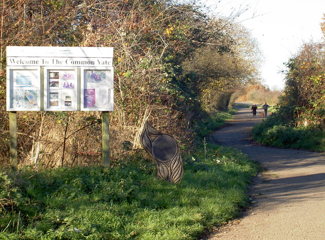
Image: © Neil Owen Taken: 28 Nov 2016
Some handy information from South Gloucestershire Council. The area is on the edge of the expanse of the common and has some paths for travelling to the west of the town. See Image] for a look at the marker.
Images are licensed for reuse under creativecommons.org/licenses/by-sa/2.0
Image Location
Latitude
51.530436
Longitude
-2.433579