Field at Stoke Prior
Introduction
The photograph on this page of Field at Stoke Prior by Philip Halling as part of the Geograph project.
The Geograph project started in 2005 with the aim of publishing, organising and preserving representative images for every square kilometre of Great Britain, Ireland and the Isle of Man.

There are currently over 7.5m images from over 14,400 individuals and you can help contribute to the project by visiting https://www.geograph.org.uk
Field at Stoke Prior
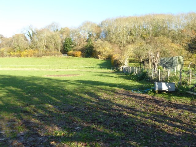
Image: © Philip Halling Taken: 25 Nov 2016
Field just above the Lugg floodplain at Stoke Prior.
Images are licensed for reuse under creativecommons.org/licenses/by-sa/2.0
Image Location


Leaflet Map data © OpenStreetMap
Latitude
52.208937
Longitude
-2.704163