Lees Lane Ponds
Introduction
The photograph on this page of Lees Lane Ponds by Jeff Buck as part of the Geograph project.
The Geograph project started in 2005 with the aim of publishing, organising and preserving representative images for every square kilometre of Great Britain, Ireland and the Isle of Man.

There are currently over 7.5m images from over 14,400 individuals and you can help contribute to the project by visiting https://www.geograph.org.uk
Lees Lane Ponds
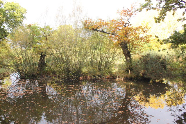
Image: © Jeff Buck Taken: 26 Oct 2016
The ponds at Lees Lane are at least 150 years old and although some are part of the natural landscape, most were created after marl was dug out by farmers to fertilise the local sandy soils. The ponds and surrounding land are now maintained as a nature reserve. Friends of Lees Lane Ponds http://neston.org.uk/friends-of-lees-lane-ponds/
Images are licensed for reuse under creativecommons.org/licenses/by-sa/2.0
Image Location
Latitude
53.290178
Longitude
-3.041657