Dismantled railway near Grove Farm
Introduction
The photograph on this page of Dismantled railway near Grove Farm by Phil Williams as part of the Geograph project.
The Geograph project started in 2005 with the aim of publishing, organising and preserving representative images for every square kilometre of Great Britain, Ireland and the Isle of Man.

There are currently over 7.5m images from over 14,400 individuals and you can help contribute to the project by visiting https://www.geograph.org.uk
Dismantled railway near Grove Farm
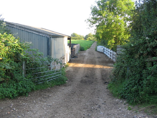
Image: © Phil Williams Taken: 9 Aug 2007
A view looking to the south from the site of a now demolished overbridge on the RUPP near Grove Farm, along the alignment of the dismantled Somerset and Dorset Joint Railway.
Images are licensed for reuse under creativecommons.org/licenses/by-sa/2.0
Image Location
Latitude
51.033976
Longitude
-2.414095