Bryan Mere, Bishop Burton, Yorkshire
Introduction
The photograph on this page of Bryan Mere, Bishop Burton, Yorkshire by Bernard Sharp as part of the Geograph project.
The Geograph project started in 2005 with the aim of publishing, organising and preserving representative images for every square kilometre of Great Britain, Ireland and the Isle of Man.

There are currently over 7.5m images from over 14,400 individuals and you can help contribute to the project by visiting https://www.geograph.org.uk
Bryan Mere, Bishop Burton, Yorkshire
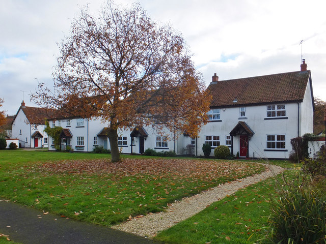
Image: © Bernard Sharp Taken: 24 Nov 2016
Dwellings at Nos.17 to 19 Bryan Mere. The road was originally the western section of Pudding Gate. Bryan Mere was the name of a pond in the vicinity.
Images are licensed for reuse under creativecommons.org/licenses/by-sa/2.0
Image Location
Latitude
53.843458
Longitude
-0.501519