Open area at Broomgrove
Introduction
The photograph on this page of Open area at Broomgrove by Patrick Roper as part of the Geograph project.
The Geograph project started in 2005 with the aim of publishing, organising and preserving representative images for every square kilometre of Great Britain, Ireland and the Isle of Man.

There are currently over 7.5m images from over 14,400 individuals and you can help contribute to the project by visiting https://www.geograph.org.uk
Open area at Broomgrove
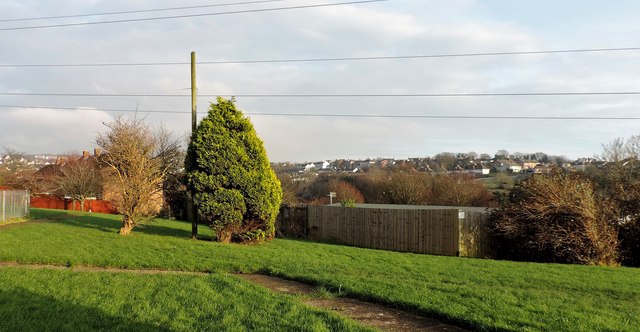
Image: © Patrick Roper Taken: 7 Dec 2015
This small area of amenity grass, trees and shrubs runs on the north side of Chiltern Drive to Southdown Avenue. The houses in the distance are at Ore.
Images are licensed for reuse under creativecommons.org/licenses/by-sa/2.0
Image Location
Latitude
50.870585
Longitude
0.596631