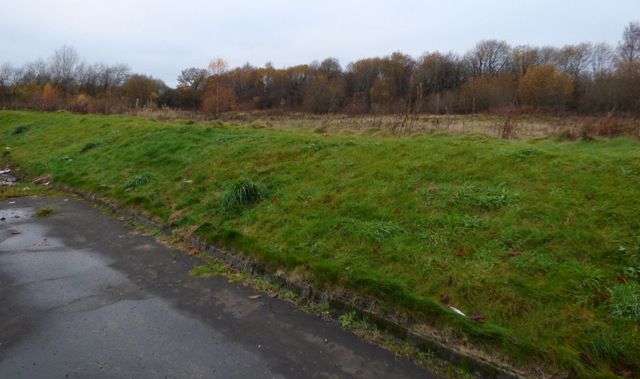
Ferguslie Park undergrowth
Introduction
The photograph on this page of Ferguslie Park undergrowth by Thomas Nugent as part of the Geograph project.
The Geograph project started in 2005 with the aim of publishing, organising and preserving representative images for every square kilometre of Great Britain, Ireland and the Isle of Man.
There are currently over 7.5m images from over 14,400 individuals and you can help contribute to the project by visiting https://www.geograph.org.uk

Image: © Thomas Nugent Taken: 20 Nov 2016
The distant trees mark the line of the disused Paisley and Barrhead District Railway line (known locally as the Dummy Line) http://railway.paisleyhistory.uk/pbdr.html . It was used as recently as the 1980s as a spur for the car factory at Linwood which closed at that time. Prior to the car factory, it also served as a spur for the Pressed Steel factory at Linwood which produced the "blue trains" (Class 303), which were the first electric trains for the north and south Clyde lines in the 1960s. The embankment in the foreground is to prevent access to the waste ground by unauthorised vehicles.

