Ferguslie Park Avenue
Introduction
The photograph on this page of Ferguslie Park Avenue by Thomas Nugent as part of the Geograph project.
The Geograph project started in 2005 with the aim of publishing, organising and preserving representative images for every square kilometre of Great Britain, Ireland and the Isle of Man.

There are currently over 7.5m images from over 14,400 individuals and you can help contribute to the project by visiting https://www.geograph.org.uk
Ferguslie Park Avenue
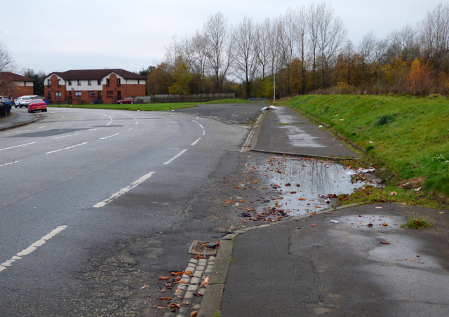
Image: © Thomas Nugent Taken: 20 Nov 2016
The road curves to the left at this point, possibly re-aligned when the old houses were demolished.
Images are licensed for reuse under creativecommons.org/licenses/by-sa/2.0
Image Location
Latitude
55.852477
Longitude
-4.451413