Sidmouth Road
Introduction
The photograph on this page of Sidmouth Road by Ian Capper as part of the Geograph project.
The Geograph project started in 2005 with the aim of publishing, organising and preserving representative images for every square kilometre of Great Britain, Ireland and the Isle of Man.

There are currently over 7.5m images from over 14,400 individuals and you can help contribute to the project by visiting https://www.geograph.org.uk
Sidmouth Road
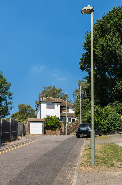
Image: © Ian Capper Taken: 17 Aug 2016
The top end of Sidmouth Road. To the right of the house is a footpath leading to St Mary Cray Station. The 1945 Kent 6" map, based on a 1938 revision, shows an outline of Sidmouth Road itself continuing through to the station; however given that the footpath consists of steps, it was presumably concluded that it would be too steep for the final section to be a road.
Images are licensed for reuse under creativecommons.org/licenses/by-sa/2.0
Image Location
Latitude
51.393626
Longitude
0.105728