Knaresborough - Church Lane, St John's House
Introduction
The photograph on this page of Knaresborough - Church Lane, St John's House by David Ward as part of the Geograph project.
The Geograph project started in 2005 with the aim of publishing, organising and preserving representative images for every square kilometre of Great Britain, Ireland and the Isle of Man.

There are currently over 7.5m images from over 14,400 individuals and you can help contribute to the project by visiting https://www.geograph.org.uk
Knaresborough - Church Lane, St John's House
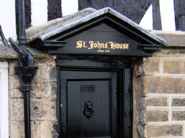
Image: © David Ward Taken: 8 Aug 2007
Dating back to circa 1498 St John's House is an impressive specimen of a house of its type.
Images are licensed for reuse under creativecommons.org/licenses/by-sa/2.0
Image Location
Latitude
54.010826
Longitude
-1.471843