Springfield Villa benchmark
Introduction
The photograph on this page of Springfield Villa benchmark by Neil Owen as part of the Geograph project.
The Geograph project started in 2005 with the aim of publishing, organising and preserving representative images for every square kilometre of Great Britain, Ireland and the Isle of Man.

There are currently over 7.5m images from over 14,400 individuals and you can help contribute to the project by visiting https://www.geograph.org.uk
Springfield Villa benchmark
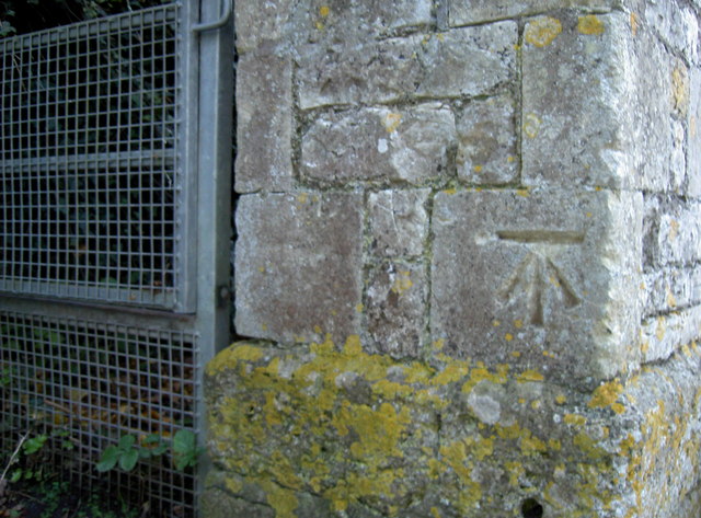
Image: © Neil Owen Taken: 25 Nov 2016
A humble cutmark, one of five in Upton Cheyney, on a pier. See http://www.bench-marks.org.uk/bm80609 for the entry in the Benchmark Database and Image] for a wider view of the footpath.
Images are licensed for reuse under creativecommons.org/licenses/by-sa/2.0
Image Location
Latitude
51.425636
Longitude
-2.446393