Grassed area in Heighington
Introduction
The photograph on this page of Grassed area in Heighington by Trevor Littlewood as part of the Geograph project.
The Geograph project started in 2005 with the aim of publishing, organising and preserving representative images for every square kilometre of Great Britain, Ireland and the Isle of Man.

There are currently over 7.5m images from over 14,400 individuals and you can help contribute to the project by visiting https://www.geograph.org.uk
Grassed area in Heighington
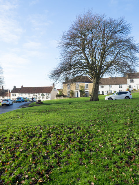
Image: © Trevor Littlewood Taken: 25 Nov 2016
Heighington is a village within the unitary authority of Darlington. There's a number of greens around the central part of the settlement, this one lies to the west of the church.
Images are licensed for reuse under creativecommons.org/licenses/by-sa/2.0
Image Location
Latitude
54.595908
Longitude
-1.617219