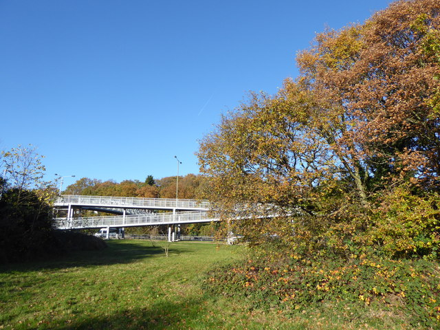
Footbridge over the A2
Introduction
The photograph on this page of Footbridge over the A2 by Marathon as part of the Geograph project.
The Geograph project started in 2005 with the aim of publishing, organising and preserving representative images for every square kilometre of Great Britain, Ireland and the Isle of Man.
There are currently over 7.5m images from over 14,400 individuals and you can help contribute to the project by visiting https://www.geograph.org.uk

Image: © Marathon Taken: 25 Nov 2016
The stretch of the A2 between Falconwood and the Dartford By-pass was built between the Wars and provided considerable local employment during the recession after the First World War. It avoided the congestion through Welling and Bexleyheath which was the route of the old Watling Street. The road was increased to three lanes each way after 1963. This view is looking towards the footbridge which leads from Rochester Drive to the south side of the A2 here. The Shuttle Riverway also crosses the bridge - see http://walkaroundlondon.com/the-sunny-shuttle-riverway-and-a-bit-more/ and http://www.tonero.me.uk/walkmaps/T&Swalks78.pdf.

