Footpath to Currys Farm
Introduction
The photograph on this page of Footpath to Currys Farm by Glyn Baker as part of the Geograph project.
The Geograph project started in 2005 with the aim of publishing, organising and preserving representative images for every square kilometre of Great Britain, Ireland and the Isle of Man.

There are currently over 7.5m images from over 14,400 individuals and you can help contribute to the project by visiting https://www.geograph.org.uk
Footpath to Currys Farm
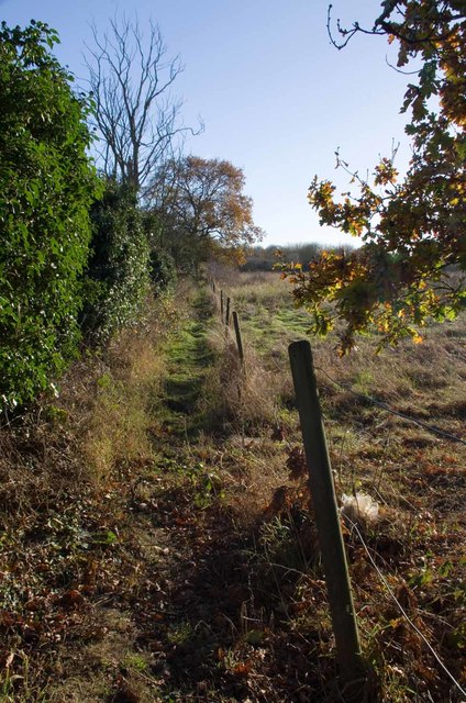
Image: © Glyn Baker Taken: 25 Nov 2016
Judging by the amount of brambles I had to clear to get along this path it is not well used.
Images are licensed for reuse under creativecommons.org/licenses/by-sa/2.0
Image Location
Latitude
51.71722
Longitude
0.887238