#3 Hedingham Court
Introduction
The photograph on this page of #3 Hedingham Court by Roger Templeman as part of the Geograph project.
The Geograph project started in 2005 with the aim of publishing, organising and preserving representative images for every square kilometre of Great Britain, Ireland and the Isle of Man.

There are currently over 7.5m images from over 14,400 individuals and you can help contribute to the project by visiting https://www.geograph.org.uk
#3 Hedingham Court
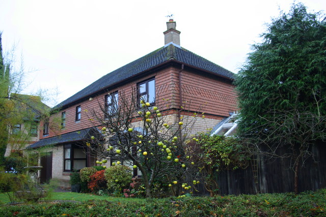
Image: © Roger Templeman Taken: 23 Nov 2016
The Ordnance Survey levelled a stud bolt benchmark on the near corner, right hand face, of the house in 1993. It is probably still there but hidden behind a wooden fence post, see http://www.bench-marks.org.uk/bm56702 for description on the Bench Mark Database
Images are licensed for reuse under creativecommons.org/licenses/by-sa/2.0
Image Location
Latitude
52.0189
Longitude
-0.789562