OS benchmark - Coleshill, former Juvenile Court
Introduction
The photograph on this page of OS benchmark - Coleshill, former Juvenile Court by Richard Law as part of the Geograph project.
The Geograph project started in 2005 with the aim of publishing, organising and preserving representative images for every square kilometre of Great Britain, Ireland and the Isle of Man.

There are currently over 7.5m images from over 14,400 individuals and you can help contribute to the project by visiting https://www.geograph.org.uk
OS benchmark - Coleshill, former Juvenile Court
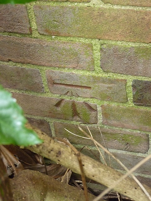
Image: © Richard Law Taken: 24 Nov 2016
An OS cutmark on the front wall of a now-disused building that has formerly been the local Juvenile Court, and the town police station. It was originally levelled, probably in 1964, at 86.42m above Ordnance Datum Newlyn. Update - as of March 2017, this mark has been destroyed, the former buildings on site have been cleared for housing development.
Images are licensed for reuse under creativecommons.org/licenses/by-sa/2.0
Image Location
Latitude
52.497682
Longitude
-1.711925