Chislehurst Road
Introduction
The photograph on this page of Chislehurst Road by Ian Capper as part of the Geograph project.
The Geograph project started in 2005 with the aim of publishing, organising and preserving representative images for every square kilometre of Great Britain, Ireland and the Isle of Man.

There are currently over 7.5m images from over 14,400 individuals and you can help contribute to the project by visiting https://www.geograph.org.uk
Chislehurst Road
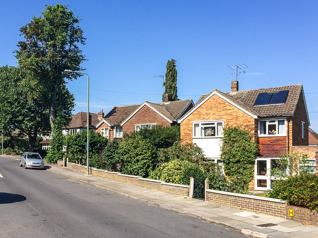
Image: © Ian Capper Taken: 14 Sep 2016
Late 1950s or early 1960s housing built in the grounds of Perry Hall House (now Perry Hall Farmhouse - see Image) in a section of the road otherwise largely developed in the 1920s.
Images are licensed for reuse under creativecommons.org/licenses/by-sa/2.0
Image Location
Latitude
51.381814
Longitude
0.095471