River Parrett, Bridgwater
Introduction
The photograph on this page of River Parrett, Bridgwater by Chris Allen as part of the Geograph project.
The Geograph project started in 2005 with the aim of publishing, organising and preserving representative images for every square kilometre of Great Britain, Ireland and the Isle of Man.

There are currently over 7.5m images from over 14,400 individuals and you can help contribute to the project by visiting https://www.geograph.org.uk
River Parrett, Bridgwater
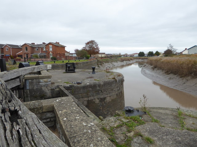
Image: © Chris Allen Taken: 14 Nov 2016
Seen from alongside the disused and sealed lock that provided access from the River Parrett to Bridgwater Docks. The Bridgwater & Taunton Canal connects to the far end of the docks.
Images are licensed for reuse under creativecommons.org/licenses/by-sa/2.0
Image Location
Latitude
51.133634
Longitude
-3.003392