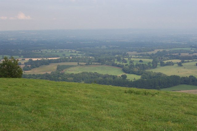
Bushovel Farm, Wiston
Introduction
The photograph on this page of Bushovel Farm, Wiston by Ron Strutt as part of the Geograph project.
The Geograph project started in 2005 with the aim of publishing, organising and preserving representative images for every square kilometre of Great Britain, Ireland and the Isle of Man.
There are currently over 7.5m images from over 14,400 individuals and you can help contribute to the project by visiting https://www.geograph.org.uk

Image: © Ron Strutt Taken: 10 Sep 2005
Formerly called Bush Hovel Farm, it is seen slightly left of centre in this picture taken from Chanctonbury Ring. What is interesting is the circular shape of the field to the right of the farmhouse and buildings (with an extension on the right). This betrays it as having been an early clearing in the vast, heavily wooded Sussex Weald from which the farm was created. There are several farms along the foot of the downs here. At first sight it appears not to be the best situation for a farm, the southern sun being blocked by the bulk of the downs for much of the year (although not at Bushovel), but it is along this line that the chalk of the downs gives way to the gault clay of the Weald and it is here that numerous springs rise, providing a plentiful supply of water.
Image Location


