Farmland above Mabws-fawr
Introduction
The photograph on this page of Farmland above Mabws-fawr by Simon Mortimer as part of the Geograph project.
The Geograph project started in 2005 with the aim of publishing, organising and preserving representative images for every square kilometre of Great Britain, Ireland and the Isle of Man.

There are currently over 7.5m images from over 14,400 individuals and you can help contribute to the project by visiting https://www.geograph.org.uk
Farmland above Mabws-fawr
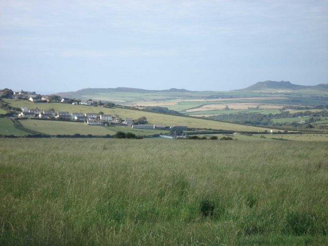
Image: © Simon Mortimer Taken: 2 Aug 2007
The peak of Garn Fawr near Strumble Head visible in the background
Images are licensed for reuse under creativecommons.org/licenses/by-sa/2.0
Image Location
Latitude
51.931424
Longitude
-5.082595