Junction of Lletty Dafydd and Dunvant Avenue, Clyne
Introduction
The photograph on this page of Junction of Lletty Dafydd and Dunvant Avenue, Clyne by Jaggery as part of the Geograph project.
The Geograph project started in 2005 with the aim of publishing, organising and preserving representative images for every square kilometre of Great Britain, Ireland and the Isle of Man.

There are currently over 7.5m images from over 14,400 individuals and you can help contribute to the project by visiting https://www.geograph.org.uk
Junction of Lletty Dafydd and Dunvant Avenue, Clyne
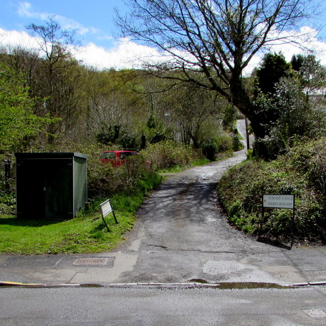
Image: © Jaggery Taken: 29 Apr 2016
This is the lanelike northern end of Dunvant Avenue, a cul-de-sac extending for 100 metres from the B4434 Lletty Dafydd.
Images are licensed for reuse under creativecommons.org/licenses/by-sa/2.0
Image Location


Leaflet Map data © OpenStreetMap
Latitude
51.697646
Longitude
-3.720934