Salterton Knap
Introduction
The photograph on this page of Salterton Knap by Derek Harper as part of the Geograph project.
The Geograph project started in 2005 with the aim of publishing, organising and preserving representative images for every square kilometre of Great Britain, Ireland and the Isle of Man.

There are currently over 7.5m images from over 14,400 individuals and you can help contribute to the project by visiting https://www.geograph.org.uk
Salterton Knap
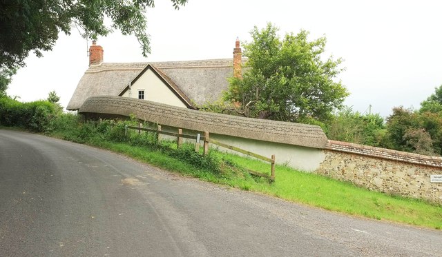
Image: © Derek Harper Taken: 17 Jul 2016
The thatched house is on a bend of the road from Netton. I like the varying coping along the wall - thatch, then tiles. Alas, the wall beneath the thatch is rather less interesting (presumably a restoration) than that beneath the tiles.
Images are licensed for reuse under creativecommons.org/licenses/by-sa/2.0
Image Location
Latitude
51.122606
Longitude
-1.820344