Path at Pendeford
Introduction
The photograph on this page of Path at Pendeford by Bill Boaden as part of the Geograph project.
The Geograph project started in 2005 with the aim of publishing, organising and preserving representative images for every square kilometre of Great Britain, Ireland and the Isle of Man.

There are currently over 7.5m images from over 14,400 individuals and you can help contribute to the project by visiting https://www.geograph.org.uk
Path at Pendeford
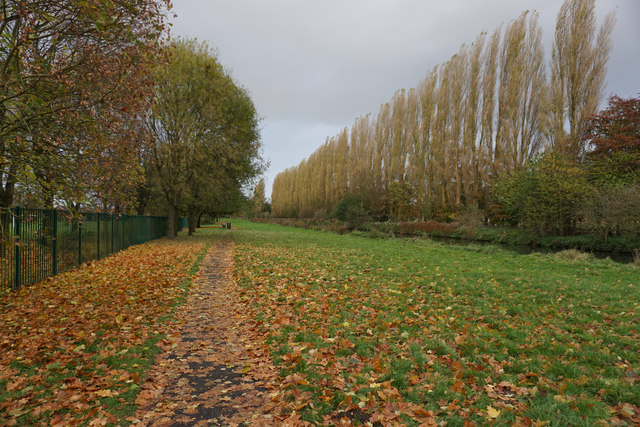
Image: © Bill Boaden Taken: 10 Nov 2016
The Staffordshire & Worcestershire Canal runs to the right, but its towpath has fallen into disuse. Instead the route is serviced by this path which circles the new housing at Pendeford.
Images are licensed for reuse under creativecommons.org/licenses/by-sa/2.0
Image Location
Latitude
52.621439
Longitude
-2.142945