Site of former sidings at Brayton Junction, Maryport & Carlisle Railway 1952
Introduction
The photograph on this page of Site of former sidings at Brayton Junction, Maryport & Carlisle Railway 1952 by Walter Dendy, deceased as part of the Geograph project.
The Geograph project started in 2005 with the aim of publishing, organising and preserving representative images for every square kilometre of Great Britain, Ireland and the Isle of Man.

There are currently over 7.5m images from over 14,400 individuals and you can help contribute to the project by visiting https://www.geograph.org.uk
Site of former sidings at Brayton Junction, Maryport & Carlisle Railway 1952
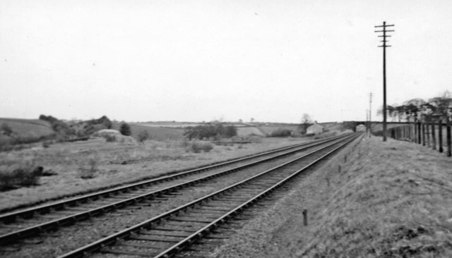
Image: © Walter Dendy, deceased Taken: 20 Apr 1952
View NE towards Wigton and Carlisle on the ex-M&C line, with on the left the loop to Abbey Junction (ex-NBR), closed 13/2/33 and formerly of the ex-Caledonian (Solway Junction) line leading to the Solway Viaduct, Annan and Kirtlebridge.
Images are licensed for reuse under creativecommons.org/licenses/by-sa/2.0
Image Location
Latitude
54.783037
Longitude
-3.290681