Part of the medieval Port Wall, Chepstow
Introduction
The photograph on this page of Part of the medieval Port Wall, Chepstow by Jaggery as part of the Geograph project.
The Geograph project started in 2005 with the aim of publishing, organising and preserving representative images for every square kilometre of Great Britain, Ireland and the Isle of Man.

There are currently over 7.5m images from over 14,400 individuals and you can help contribute to the project by visiting https://www.geograph.org.uk
Part of the medieval Port Wall, Chepstow
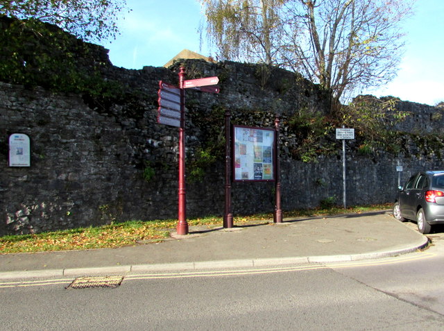
Image: © Jaggery Taken: 11 Nov 2016
The information notice on the left states that the Port Wall was the medieval defensive wall enclosing the town of Chepstow. It was built by Roger Bigod, lord of Chepstow c1272-1282. Set in a loop of the River Wye, medieval Chepstow had no stone defences before the late 13th century when this wall was built across the neck of the promontory. It was 1,100 metres (1,200 yds) long with ten open-backed semicircular towers, and a gatehouse giving access to the town. The much-rebuilt town gate http://www.geograph.org.uk/photo/3664795 still stands below Moor Street. Stretches of the wall have disappeared at either end, but its central section is largely intact. The Port Wall is in the care of Cadw.
Images are licensed for reuse under creativecommons.org/licenses/by-sa/2.0
Image Location
Latitude
51.641947
Longitude
-2.676989