Lane down to Wyllie from Tyle-gwyn
Introduction
The photograph on this page of Lane down to Wyllie from Tyle-gwyn by M J Roscoe as part of the Geograph project.
The Geograph project started in 2005 with the aim of publishing, organising and preserving representative images for every square kilometre of Great Britain, Ireland and the Isle of Man.

There are currently over 7.5m images from over 14,400 individuals and you can help contribute to the project by visiting https://www.geograph.org.uk
Lane down to Wyllie from Tyle-gwyn
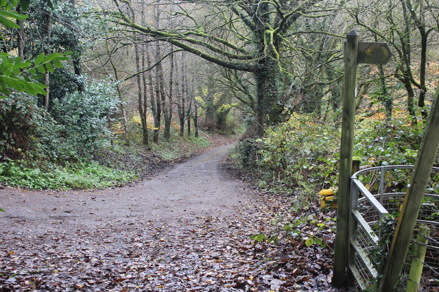
Image: © M J Roscoe Taken: 18 Nov 2016
The lane here is part of the Sirhowy Valley Walk which goes off to the right into woodland via the kissing gate (extreme right) Image
Images are licensed for reuse under creativecommons.org/licenses/by-sa/2.0
Image Location
Latitude
51.638813
Longitude
-3.194272