Forest Muir
Introduction
The photograph on this page of Forest Muir by Anne Burgess as part of the Geograph project.
The Geograph project started in 2005 with the aim of publishing, organising and preserving representative images for every square kilometre of Great Britain, Ireland and the Isle of Man.

There are currently over 7.5m images from over 14,400 individuals and you can help contribute to the project by visiting https://www.geograph.org.uk
Forest Muir
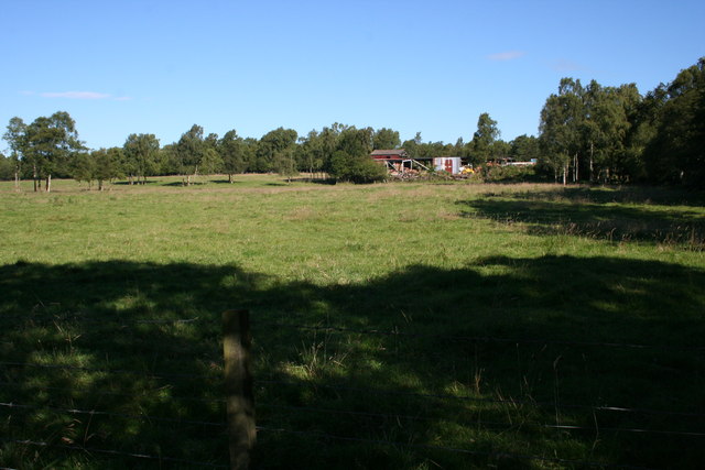
Image: © Anne Burgess Taken: 8 Aug 2007
The sawmill, which supplies fence posts and cut timber, sits astride the grid line, but the field is typical of most of the square, which is mixed pasture and woodland. Access isn't easy when the ground is as wet as it is now, because the access points now all lead straight into the gardens of recently built homes, and walking across boggy fields doesn't appeal!
Images are licensed for reuse under creativecommons.org/licenses/by-sa/2.0
Image Location
Latitude
56.682971
Longitude
-2.93364