Part of the field inside The Rath, Rudbaxton
Introduction
The photograph on this page of Part of the field inside The Rath, Rudbaxton by Humphrey Bolton as part of the Geograph project.
The Geograph project started in 2005 with the aim of publishing, organising and preserving representative images for every square kilometre of Great Britain, Ireland and the Isle of Man.

There are currently over 7.5m images from over 14,400 individuals and you can help contribute to the project by visiting https://www.geograph.org.uk
Part of the field inside The Rath, Rudbaxton
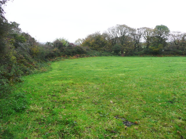
Image: © Humphrey Bolton Taken: 27 Oct 2016
This is about a quarter of the field, which was bigger than I expected. The fort is about 100m across. Whilst walking in the ditch I found a golf ball, so perhaps someone comes here to practise - or maybe it was laid by the mythical golf ball bird.
Images are licensed for reuse under creativecommons.org/licenses/by-sa/2.0
Image Location


Leaflet Map data © OpenStreetMap
Latitude
51.831998
Longitude
-4.925984