Stivichall Common
Introduction
The photograph on this page of Stivichall Common by E Gammie as part of the Geograph project.
The Geograph project started in 2005 with the aim of publishing, organising and preserving representative images for every square kilometre of Great Britain, Ireland and the Isle of Man.

There are currently over 7.5m images from over 14,400 individuals and you can help contribute to the project by visiting https://www.geograph.org.uk
Stivichall Common
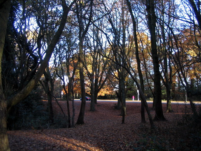
Image: © E Gammie Taken: 18 Nov 2016
Looking across Devil's Dungeon towards Kenilworth Road (A429) and the entrance to the Memorial Park.
Images are licensed for reuse under creativecommons.org/licenses/by-sa/2.0
Image Location


Leaflet Map data © OpenStreetMap
Latitude
52.392428
Longitude
-1.529863