Sheltering sheep, Great Durnford
Introduction
The photograph on this page of Sheltering sheep, Great Durnford by Derek Harper as part of the Geograph project.
The Geograph project started in 2005 with the aim of publishing, organising and preserving representative images for every square kilometre of Great Britain, Ireland and the Isle of Man.

There are currently over 7.5m images from over 14,400 individuals and you can help contribute to the project by visiting https://www.geograph.org.uk
Sheltering sheep, Great Durnford
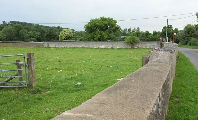
Image: © Derek Harper Taken: 17 Jul 2016
I'm wondering why these sheep are taking up early positions beneath the wall. Perhaps there was a brisk northerly - I can't recall. If it was in preparation for a return of the previous day's hardly excessive heat, they're facing the wrong way. Anyway, this is the valley road through the rather scattered village, seen just north of the Black Horse, and the bus stop is just this side of the junction with Jubilee Hill on the right.
Images are licensed for reuse under creativecommons.org/licenses/by-sa/2.0
Image Location


Leaflet Map data © OpenStreetMap
Latitude
51.14156
Longitude
-1.807977