Lake Bottom
Introduction
The photograph on this page of Lake Bottom by Derek Harper as part of the Geograph project.
The Geograph project started in 2005 with the aim of publishing, organising and preserving representative images for every square kilometre of Great Britain, Ireland and the Isle of Man.

There are currently over 7.5m images from over 14,400 individuals and you can help contribute to the project by visiting https://www.geograph.org.uk
Lake Bottom
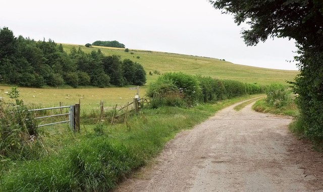
Image: © Derek Harper Taken: 17 Jul 2016
A reverse view of Image], with BOAT WCLA 3 continuing the line of the no through road up the valley, and Staircase Plantation on the left. On the horizon is Rox Hill Clump.
Images are licensed for reuse under creativecommons.org/licenses/by-sa/2.0
Image Location
Latitude
51.148948
Longitude
-1.817382