Path from SUDS pond to Lomondgate housing
Introduction
The photograph on this page of Path from SUDS pond to Lomondgate housing by Lairich Rig as part of the Geograph project.
The Geograph project started in 2005 with the aim of publishing, organising and preserving representative images for every square kilometre of Great Britain, Ireland and the Isle of Man.

There are currently over 7.5m images from over 14,400 individuals and you can help contribute to the project by visiting https://www.geograph.org.uk
Path from SUDS pond to Lomondgate housing
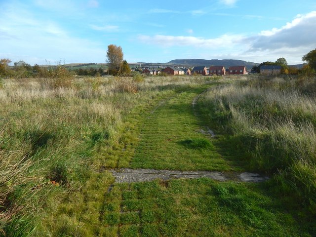
Image: © Lairich Rig Taken: 28 Oct 2016
The path leads from a Image, and it consists of permeable paving. There used to be trees on both sides of this path: Image They were cleared, and the path made very muddy, when the houses visible ahead were being built: Image The present picture shows the area beginning to recover. The path leads into the housing at Lomondgate: Image
Images are licensed for reuse under creativecommons.org/licenses/by-sa/2.0
Image Location
Latitude
55.956839
Longitude
-4.569838