Under the White Bridge, Welwyn Garden City
Introduction
The photograph on this page of Under the White Bridge, Welwyn Garden City by Stephen McKay as part of the Geograph project.
The Geograph project started in 2005 with the aim of publishing, organising and preserving representative images for every square kilometre of Great Britain, Ireland and the Isle of Man.

There are currently over 7.5m images from over 14,400 individuals and you can help contribute to the project by visiting https://www.geograph.org.uk
Under the White Bridge, Welwyn Garden City
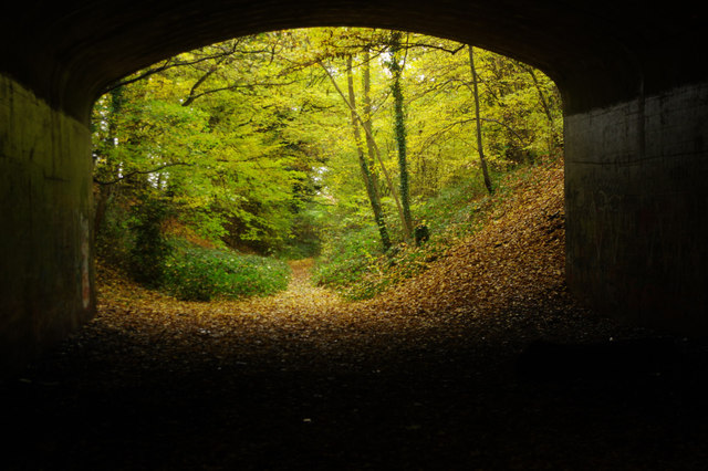
Image: © Stephen McKay Taken: 15 Nov 2016
The Ayot Greenway officially ends at the White Bridge although the path continues a little further east. There is little sense here that this is near the centre of a town.
Images are licensed for reuse under creativecommons.org/licenses/by-sa/2.0
Image Location
Latitude
51.80627
Longitude
-0.206372