Muddy path, Eskrigg nature reserve
Introduction
The photograph on this page of Muddy path, Eskrigg nature reserve by Lynne Kirton as part of the Geograph project.
The Geograph project started in 2005 with the aim of publishing, organising and preserving representative images for every square kilometre of Great Britain, Ireland and the Isle of Man.

There are currently over 7.5m images from over 14,400 individuals and you can help contribute to the project by visiting https://www.geograph.org.uk
Muddy path, Eskrigg nature reserve
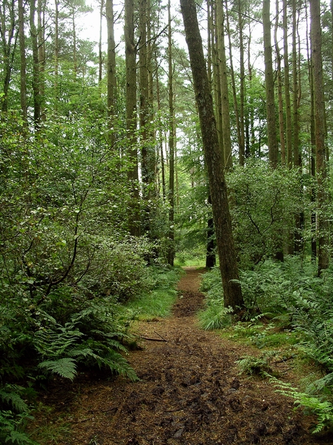
Image: © Lynne Kirton Taken: 6 Aug 2007
Eskrigg nature reserve, just to the west of Lockerbie, is managed by the Lockerbie Wildlife Trust. See http://www.lockerbie-wildlife-trust.co.uk/History.html
Images are licensed for reuse under creativecommons.org/licenses/by-sa/2.0
Image Location
Latitude
55.112878
Longitude
-3.371218