Road passing Pwllpeiran
Introduction
The photograph on this page of Road passing Pwllpeiran by Nigel Brown as part of the Geograph project.
The Geograph project started in 2005 with the aim of publishing, organising and preserving representative images for every square kilometre of Great Britain, Ireland and the Isle of Man.

There are currently over 7.5m images from over 14,400 individuals and you can help contribute to the project by visiting https://www.geograph.org.uk
Road passing Pwllpeiran
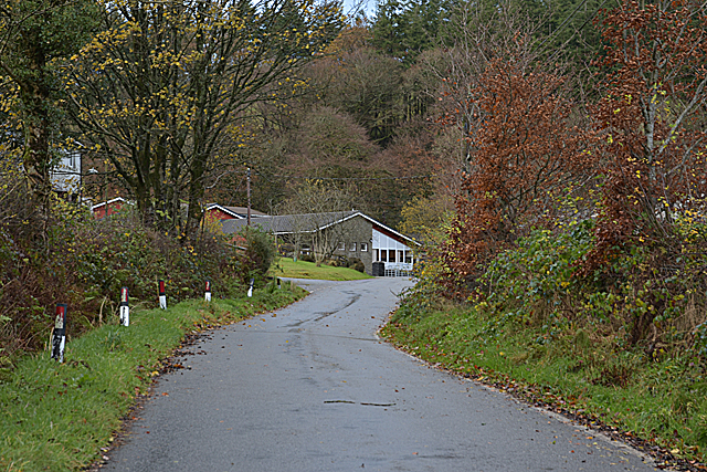
Image: © Nigel Brown Taken: 17 Nov 2016
Pwllpeiran was until recently an experimental station run by ADAS, specialising in upland farming. It's future was put into question by the privatisation of ADAS, eventually being closed. However, it has since been taken over by the Institute of Biological, Environmental and Rural Sciences of Aberystwyth University.
Images are licensed for reuse under creativecommons.org/licenses/by-sa/2.0
Image Location
Latitude
52.355379
Longitude
-3.799683