Ten foot between Dale Street and Frodingham Road
Introduction
The photograph on this page of Ten foot between Dale Street and Frodingham Road by Jonathan Thacker as part of the Geograph project.
The Geograph project started in 2005 with the aim of publishing, organising and preserving representative images for every square kilometre of Great Britain, Ireland and the Isle of Man.

There are currently over 7.5m images from over 14,400 individuals and you can help contribute to the project by visiting https://www.geograph.org.uk
Ten foot between Dale Street and Frodingham Road
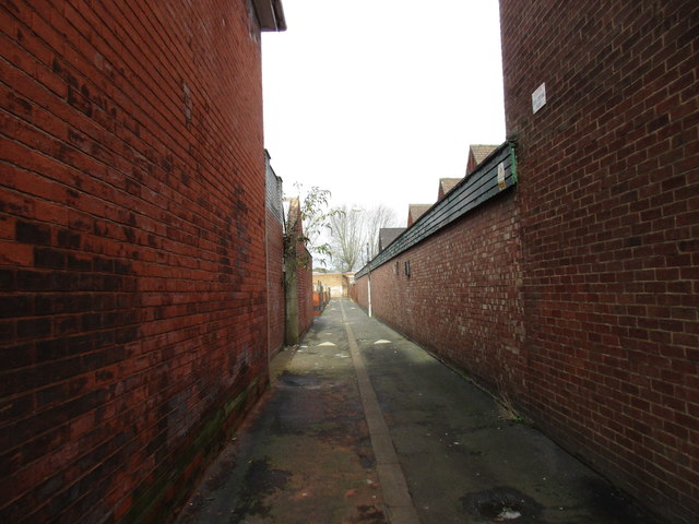
Image: © Jonathan Thacker Taken: 17 Nov 2016
The now closed Crosby School is on the right and the closed St. Philip's Club on the left.
Images are licensed for reuse under creativecommons.org/licenses/by-sa/2.0
Image Location


Leaflet Map data © OpenStreetMap
Latitude
53.595492
Longitude
-0.656274