New Housing
Introduction
The photograph on this page of New Housing by Gordon Griffiths as part of the Geograph project.
The Geograph project started in 2005 with the aim of publishing, organising and preserving representative images for every square kilometre of Great Britain, Ireland and the Isle of Man.

There are currently over 7.5m images from over 14,400 individuals and you can help contribute to the project by visiting https://www.geograph.org.uk
New Housing
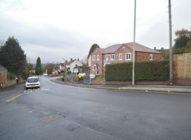
Image: © Gordon Griffiths Taken: 9 Nov 2016
The view of the former site of the Salvation Army hall in Ettymore Road close to Sedgley Bull Ring.
Images are licensed for reuse under creativecommons.org/licenses/by-sa/2.0
Image Location
Latitude
52.541271
Longitude
-2.123959