Charles Henry Road, Droitwich
Introduction
The photograph on this page of Charles Henry Road, Droitwich by Jaggery as part of the Geograph project.
The Geograph project started in 2005 with the aim of publishing, organising and preserving representative images for every square kilometre of Great Britain, Ireland and the Isle of Man.

There are currently over 7.5m images from over 14,400 individuals and you can help contribute to the project by visiting https://www.geograph.org.uk
Charles Henry Road, Droitwich
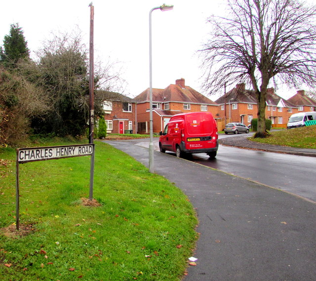
Image: © Jaggery Taken: 16 Nov 2016
The northwest end of Charles Henry Road, at the junction with The Holloway. Charles Henry Road extends for 400 metres from here to Winslow Avenue. The red Royal Mail Fiat Doblo van has the identifier D3.
Images are licensed for reuse under creativecommons.org/licenses/by-sa/2.0
Image Location
Latitude
52.267413
Longitude
-2.142095