Bromsgrove Road towards a railway bridge, Droitwich
Introduction
The photograph on this page of Bromsgrove Road towards a railway bridge, Droitwich by Jaggery as part of the Geograph project.
The Geograph project started in 2005 with the aim of publishing, organising and preserving representative images for every square kilometre of Great Britain, Ireland and the Isle of Man.

There are currently over 7.5m images from over 14,400 individuals and you can help contribute to the project by visiting https://www.geograph.org.uk
Bromsgrove Road towards a railway bridge, Droitwich
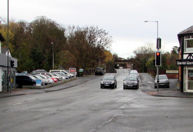
Image: © Jaggery Taken: 16 Nov 2016
The B4065 Bromsgrove Road NE of the crossroads at the Queen Street, Saltway and Hanbury Street junctions.
Images are licensed for reuse under creativecommons.org/licenses/by-sa/2.0
Image Location
Latitude
52.269928
Longitude
-2.143568