Avon floodplain near Burgate
Introduction
The photograph on this page of Avon floodplain near Burgate by Derek Harper as part of the Geograph project.
The Geograph project started in 2005 with the aim of publishing, organising and preserving representative images for every square kilometre of Great Britain, Ireland and the Isle of Man.

There are currently over 7.5m images from over 14,400 individuals and you can help contribute to the project by visiting https://www.geograph.org.uk
Avon floodplain near Burgate
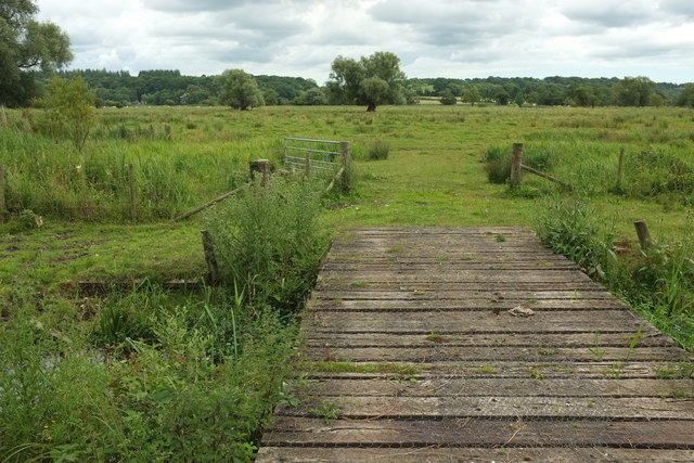
Image: © Derek Harper Taken: 16 Jul 2016
A bridge (not a right of way) in the foreground crosses a water channel to reach water meadows stretching across the flood plain.
Images are licensed for reuse under creativecommons.org/licenses/by-sa/2.0
Image Location


Leaflet Map data © OpenStreetMap
Latitude
50.945932
Longitude
-1.780742