Footpath linking Raynham Close, Pitreavie Avenue & Upavon Way, Carterton, Oxon
Introduction
The photograph on this page of Footpath linking Raynham Close, Pitreavie Avenue & Upavon Way, Carterton, Oxon by P L Chadwick as part of the Geograph project.
The Geograph project started in 2005 with the aim of publishing, organising and preserving representative images for every square kilometre of Great Britain, Ireland and the Isle of Man.

There are currently over 7.5m images from over 14,400 individuals and you can help contribute to the project by visiting https://www.geograph.org.uk
Footpath linking Raynham Close, Pitreavie Avenue & Upavon Way, Carterton, Oxon
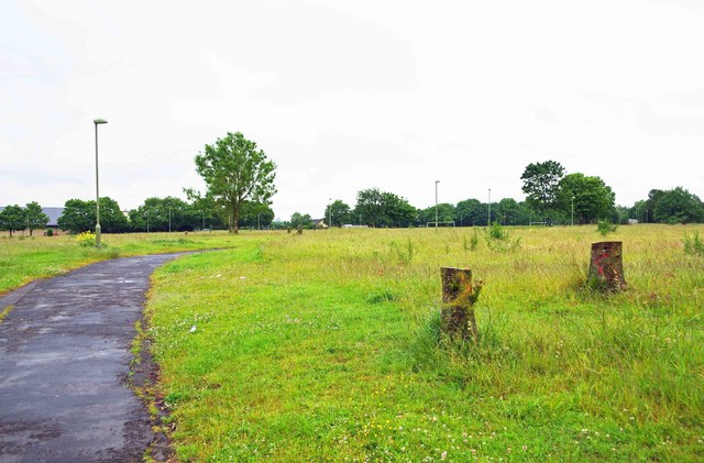
Image: © P L Chadwick Taken: 13 Jun 2015
The footpath dates from the time when there was RAF housing in Raynham Close, Pitreavie Avenue and other neighbouring roads. The housing has gone but the footpath remains in use. In the very far distance is a football pitch. Image
Images are licensed for reuse under creativecommons.org/licenses/by-sa/2.0
Image Location
Latitude
51.766904
Longitude
-1.590148