Houses at Breamore
Introduction
The photograph on this page of Houses at Breamore by Derek Harper as part of the Geograph project.
The Geograph project started in 2005 with the aim of publishing, organising and preserving representative images for every square kilometre of Great Britain, Ireland and the Isle of Man.

There are currently over 7.5m images from over 14,400 individuals and you can help contribute to the project by visiting https://www.geograph.org.uk
Houses at Breamore
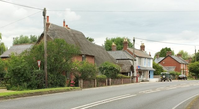
Image: © Derek Harper Taken: 16 Jul 2016
On the left is "a building of two parts, a small C18 pair of cottages attached to the south end of a C17 timber frame" https://www.historicengland.org.uk/listing/the-list/list-entry/1179610 .
Images are licensed for reuse under creativecommons.org/licenses/by-sa/2.0
Image Location


Leaflet Map data © OpenStreetMap
Latitude
50.960311
Longitude
-1.776402