Kilmacolm Road
Introduction
The photograph on this page of Kilmacolm Road by Lairich Rig as part of the Geograph project.
The Geograph project started in 2005 with the aim of publishing, organising and preserving representative images for every square kilometre of Great Britain, Ireland and the Isle of Man.

There are currently over 7.5m images from over 14,400 individuals and you can help contribute to the project by visiting https://www.geograph.org.uk
Kilmacolm Road
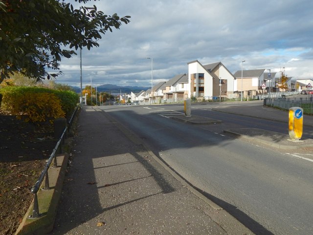
Image: © Lairich Rig Taken: 24 Oct 2016
The area on the right had been redeveloped in recent years; compare Image, taken a few years earlier. In both pictures, an old boundary stone can be seen not far ahead, just to the left of the pavement. In the present picture, taken when the sun was low, it is in shadow. It is shown in Image For another view of the new houses that are on the other side of the road, see Image
Images are licensed for reuse under creativecommons.org/licenses/by-sa/2.0
Image Location
Latitude
55.935153
Longitude
-4.741823