Saltash Passage
Introduction
The photograph on this page of Saltash Passage by Stephen McKay as part of the Geograph project.
The Geograph project started in 2005 with the aim of publishing, organising and preserving representative images for every square kilometre of Great Britain, Ireland and the Isle of Man.

There are currently over 7.5m images from over 14,400 individuals and you can help contribute to the project by visiting https://www.geograph.org.uk
Saltash Passage
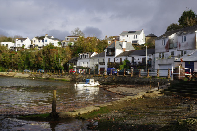
Image: © Stephen McKay Taken: 12 Nov 2016
Saltash Passage was, until 1961, the eastern end of the ferry across the Tamar from Saltash. Curiously, until 1832 it was actually in Cornwall - although always part of the Devon parish of St Budeaux. The ferry service was superseded by the road suspension bridge leaving a rather sleepy but not unattractive spot.
Images are licensed for reuse under creativecommons.org/licenses/by-sa/2.0
Image Location
Latitude
50.405535
Longitude
-4.200724