Railway shelter
Introduction
The photograph on this page of Railway shelter by Robert Eva as part of the Geograph project.
The Geograph project started in 2005 with the aim of publishing, organising and preserving representative images for every square kilometre of Great Britain, Ireland and the Isle of Man.

There are currently over 7.5m images from over 14,400 individuals and you can help contribute to the project by visiting https://www.geograph.org.uk
Railway shelter
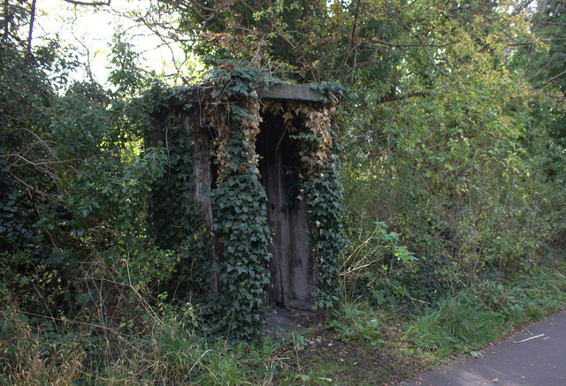
Image: © Robert Eva Taken: 3 Nov 2016
The old St Albans to Hertford railway is now a pedestrian and cycle path but there are still relics to be seen. This one has almost been reclaimed by nature.
Images are licensed for reuse under creativecommons.org/licenses/by-sa/2.0
Image Location
Latitude
51.742127
Longitude
-0.332612