Path out of the copse, Bedfords Park, Havering-atte-Bower
Introduction
The photograph on this page of Path out of the copse, Bedfords Park, Havering-atte-Bower by Roger Jones as part of the Geograph project.
The Geograph project started in 2005 with the aim of publishing, organising and preserving representative images for every square kilometre of Great Britain, Ireland and the Isle of Man.

There are currently over 7.5m images from over 14,400 individuals and you can help contribute to the project by visiting https://www.geograph.org.uk
Path out of the copse, Bedfords Park, Havering-atte-Bower
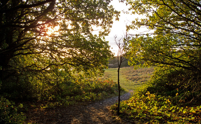
Image: © Roger Jones Taken: 13 Nov 2016
Looking to the direction of Bedfords Lake. Bedfords Park is managed by the Essex Wildlife Trust: http://www.essexwt.org.uk/reserves/bedfords-park
Images are licensed for reuse under creativecommons.org/licenses/by-sa/2.0
Image Location
Latitude
51.604934
Longitude
0.19105